How to Check Transit Times in Maps

BY GreenBot Staff

Published 8 Aug 2016

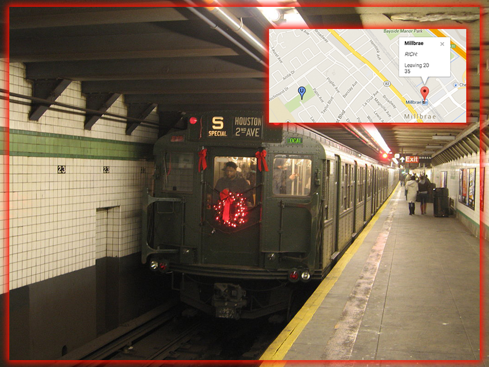
From the Bay Area’s BART to the New York Subway parts in between. A universal question comes to all commuters; when is the train coming? Maps usually have the answer. If you’re tired of looking for signage in the station. It’s time to get to know the transit features of Maps. The first step is to find your station. Search for the specific location or find it on your map if you’re already there. Then tap on that location to pull up its profile page.
Find your station get a quick overview of which transit lines run there.

Scroll down and see the specific transit lines that operate here. Then, touch on the section with the name of that city’s service. In our example, it’s Metro services. You’ll then see the routes and arrival times for specific train lines. If you touch one of them. You’ll see exactly where the train is and where else it needs to stop before arriving at your location.
You can see a specific list of stations and find out where the train is currently located.

You can use this to find out how long you have to wait at the station. Or get an idea of how quickly certain trains run before heading out for your trip. The transit bus times for most major mid-sized cities are in Maps. So there shouldn’t be any mystery about your wait time.