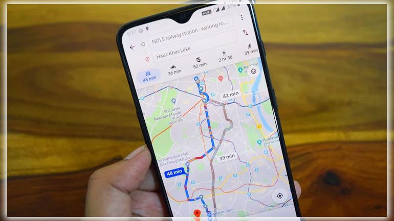
Maps are way more than just a digital replica of a paper map. It’s a full-blown trip planner, travel aide, and recommendations engine for dining and exploring new places. Get more out of Maps by tapping into the more advanced features. Sure, you can use it like a map. Still, it’s way more powerful if you learn to save places offline, improve the information by adding details. And take advantage of navigation, and master other tricks. These are the top tips you’ll want to know about before your next adventure or trip across town.
Offline Maps
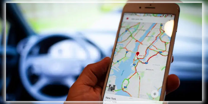
Whether headed on an overseas adventure in Europe or up to the mountains to escape civilization. You don’t need to leave behind the convenience of Maps. It’s now pretty simple to download an offline map for those areas in the middle of nowhere. Just head to Settings > Offline areas, hit the plus button pan your way through the globe to find the place you want to be available when you don’t have a data connection. Maps can also do this automatically for your home areas. So your searches will be faster for the places you’re routinely looking at. This obviously can eat up a bunch of space from your device storage. So consider how much you want to download.
Send Directions to Your Phone
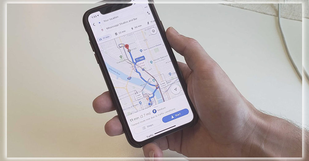
You probably use Maps on the desktop and on your Android phone. If so, there’s no need to start over when you switch from desktop to mobile. Just use the Send to your phone tool, which is located on a venue’s card. Your phone or tablet should appear under the list of available devices, assuming you signed into them with your account.
You can even send the location to your car if it supports Maps integration with the infotainment system. This is a different configuration than Android Auto. The Share button also copies the link or creates an embed code to save the map on your site. Many wedding guests have been kept from getting lost thanks to wise grooms and brides. Who embed maps on their wedding sites.
Keep Your Timeline
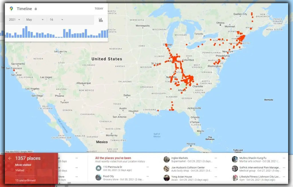
Maps can keep tabs on everywhere you go. Now that may sound pretty creepy, but it’s handy to figure out which new store you visited last week. Or to prove to a nosey relative where you were the other day. If you use Photos, Maps will also show which pictures you took at that specific location. I’ve used this to find a shot I took of a particular product at an electronics store. But if you want to eliminate your tracks. You can head to timeline settings, delete your history, or turn the feature off.
Be a Local Guide
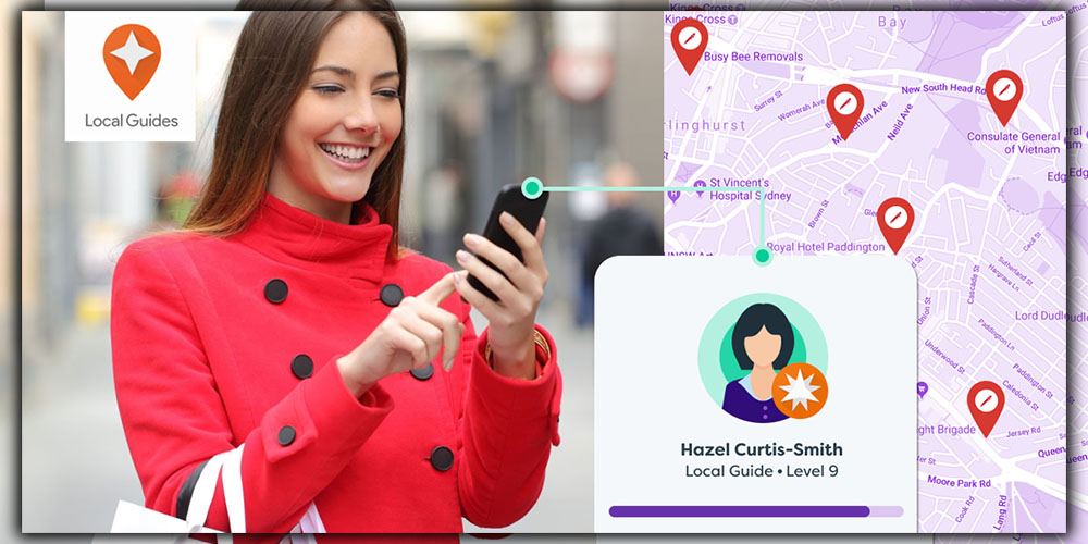
Google’s Local Guides program aims to boost the number of reviews. And details about all the places you find on Maps. In exchange for posting photos, submitting new restaurants, suggesting edits, and answering questions about where you’ve been. You’ll eventually get freebies like Drive storage space and invites to preview beta features. If you really decide to go for this. Then enable push alerts to get reminded about adding reviews to places you’ve visited. If this is too oppressive, you can opt out. But contributing to the community is one way to make Maps more useful for everybody else out there.
Search Along Your Route
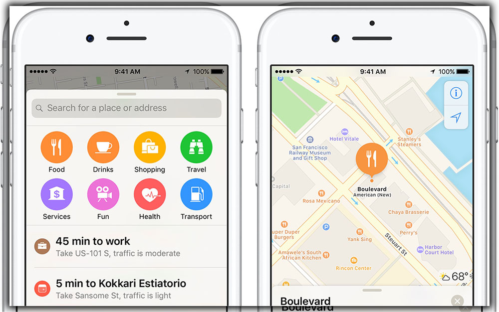
You’re bound to get the munchies or need to fill up the car during your next road trip. Maps have you covered, as when you’re using navigation mode. You can search along the route via voice or the floating action button. It pulls up specific suggestions so your passenger can perform this search. While driving you can keep your eyes on the road. You’ll even get the current gas prices, so you can save a few dollars on your pit stop.
Get Transit Information
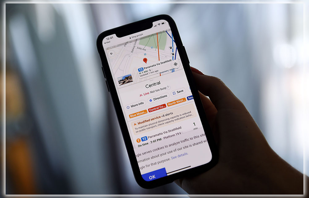
If you live in a major city with some transit system. Maps are essential for finding out when the next train will arrive. You even get the color-coded lines in BART, Washington’s Metro, and other cities that use this scheme. When planning a trip, you can also use Maps to map out which trains to take. Although just as with driving directions, sometimes human intuition. And local knowledge might be more accurate than the algorithms suggest.
Master Navigation
You don’t always have to drive everywhere. Maps will find routes via transit, biking, or walking when using the trip planning tool. You can also tell Maps to avoid highways, tolls, and ferries if you’re trying to save a few bucks. Remember that the specific route is more of a guide. So be prepared to change your direction if unforeseen issues arise. But Maps is pretty good at adjusting on the fly. Especially with real-time data coming in through the acquisition of Waze.
Take to the Street
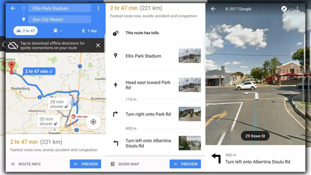
Street View is still an innovation that puts Maps far above the rest of the competition. But it’s not so obvious to launch on mobile. To do so, press and hold with your finger to a specific location on the map. Then, you’ll see a pin drop. Touch the preview image of Street View that appears at the bottom left of the screen. Then you can pan zoom on the screen. And virtually make your way through the streets to check out the view. There’s a hint in the navigation icon at the top of the screen. Which launches a blue line to show you where your virtual camera view can travel. You can then swipe along that route to see what has been captured by one of Google’s cars or bicycles.
Find Local Favorites
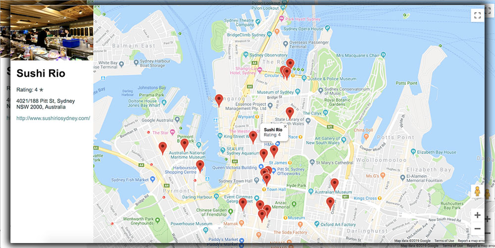
Maps have been morphing into more of a city guide. Over the past couple of years, suggestions for places to visit and eat. Touch the Explore option from the slide-out menu, and you’ll have many choices for what’s nearby. The where the locals go section is good at sticking to nonchain restaurants. If you want something with some local flavor. I’ve seen it’s helpful to touch the star icon on a few places I discovered in this menu. And then compare which is closest. And if I don’t feel like going that far. Press each item’s card for more information, like additional reviews and hours, when that spot tends to be the busiest.
Add Labels
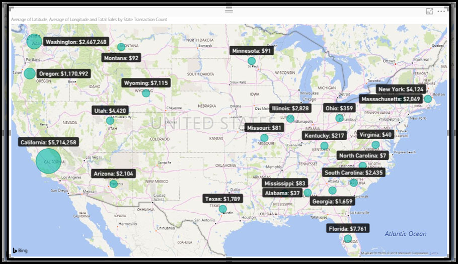
You don’t have to let it do all the organization for you. You can create labels for different venues that you find, which you can then re visit later from Your places. You’re also able to label your home, and work address. Which helps Maps Now give you estimated travel times, when planning a route. The strength of using labels is that it can better organize some places that you might want to visit later. Without relying on search to find them every single time. It’s also better than just adding a star to everywhere you like. As it’s quite easy to clutter up your map with lots of stars trust me, I’ve done this. This method takes more work, but it will help build Maps out to be a more useful tool over time.


